

Thunderstorms and High Surf Put Parts of Panama on Alert for July 31
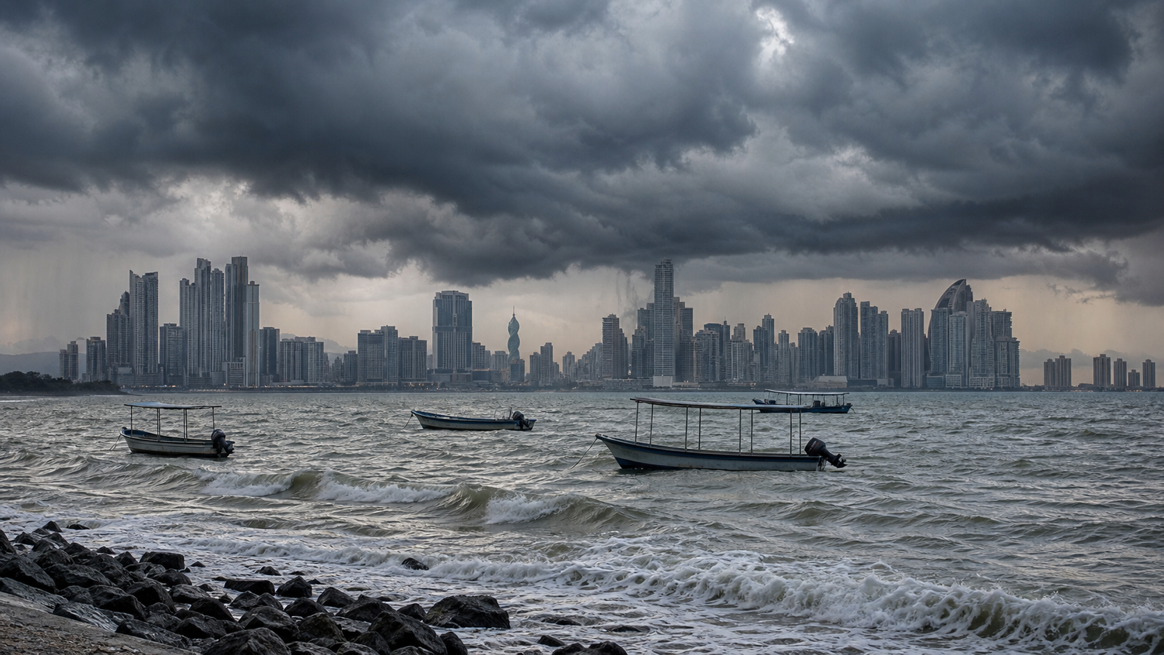
PANAMA CITY, July 31, 2026 – Panama entered Friday with a mixed weather outlook, as forecasters warned of isolated downpours with electrical activity near maritime zones and possible movement toward coastal communities.
TVN Noticias reported that the Caribbean remained under an advisory for adverse sea conditions, with waves expected between 1.80 and 2.40 meters and periods of seven to 10 seconds. The outlet also reported very high to extreme ultraviolet radiation levels, ranging from 8 to 11.
The forecast matters for two different groups of readers at once: people working or traveling along the coast, and families planning outdoor activity during the day. Conditions on the Pacific side were described as more favorable for navigation, but the forecast still included rain and storms in several regions.
In the Pacific basin, rain and storms were expected early around the gulf and coast of Panama, followed by reduced cloud cover and more daytime heating. Afternoon downpours were possible in Chiriqui, central and southern Veraguas, southern Azuero, Darien and the Sambu comarca.
In the Caribbean, showers were expected mainly during the early morning and morning in western and central areas, with possible effects in Bocas del Toro, the Ngabe Bugle comarca, northern Veraguas and parts of Colon. Additional night activity remained possible in the region.
Temperatures were forecast to range from 12 to 18 degrees Celsius in mountain areas, 19 to 23 degrees in the rest of the country, and highs from 24 to 34 degrees. Authorities urged residents to follow Sistema Nacional de Proteccion Civil guidance.
Why it matters
Weather, sea-state and UV warnings affect boat operators, beach activity, commuters, agricultural areas and households planning Friday travel.
What happens next
Residents should monitor official weather and civil-protection updates through the day, especially near Caribbean waters and areas exposed to afternoon storms.
