Politics aside- Rising GREENHOUSE temps are not make believe and sea levels will rise. PANAMA not exempt

In 1983, three scientists from the Institute of Ocean Sciences of Canada reported in an article published by the Intergovernmental Oceanigraphic Commission, the first warning about the trend of rising sea levels, and the effect that phenomena such as El Child in Panama.
The aforementioned study was carried out using data from the tide gauges installed in Balboa and Cristóbal by the Americans during the construction of the Canal. The report indicated that between 1909 and 1969 the data from these tide gauges showed a rise in sea level of 9.6 centimeters in the Pacific, and 6.8 centimeters in the Caribbean and that, in addition, moderate or strong El Niño events could cause sea level rise in both oceans.
In 2008, Bogdan Kwiecinski and Luis D’Croz of the Department of Marine Biology and Limnology of the University of Panama, using data from the Balboa tide gauge, reaffirmed the findings of the 1983 study. The rise in sea level between 1909-1998 was approximately 20 centimeters. For the period 2000-2020, the increase was estimated at 29 centimeters, projected to reach 39 centimeters in 2040 and 76 centimeters by the end of the 21st century.

*LIGHT BLUE areas due to be affected.
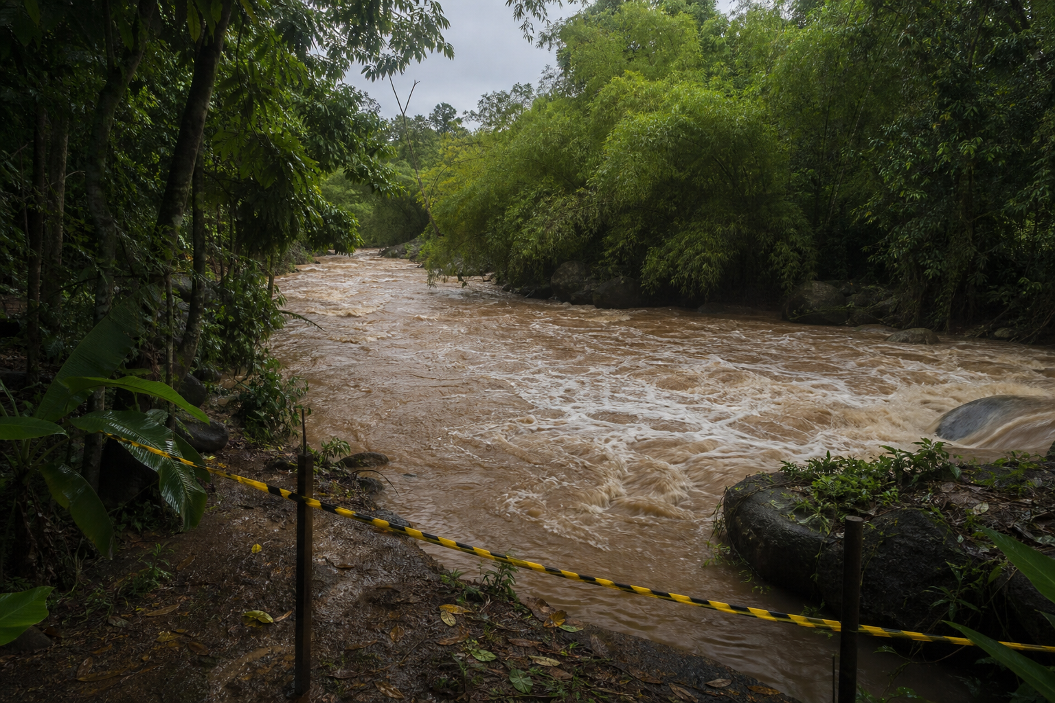
More recently, a study prepared at the University of Vigo in 2015, called “Effects of Climate Change on Exposure to Coastal Flooding in Latin America and the Caribbean” noted that “the analysis suggests that El Niño events, similar to that of 1998, in combined with the sea level rise projected for mid-century, it would expose a substantial portion of the Panamanian population and significant values of built capital to flood risks.”
The most detailed reference available on what the future holds for the Panamanian coasts in regards to sea level rise, corresponds to the study ‘Development of a database of marine dynamics for the Panamanian coasts, to determine vulnerability and impacts from climate change to sea level rise ‘, prepared by IH Cantabria, for MiAmbiente in 2023.
This study addresses an analysis of, “how will the coastline evolve in the face of various climate change scenarios and/or extreme wave and sea level conditions. In addition, it allows us to answer questions such as, what will be the extent of coastal flooding for a given emissions scenario on the 2050 horizon? What will be the level of the water table on the ground associated with that flooding?” .
Based on this data, and in order to delve deeper into the impacts of sea level rise on communities, infrastructure and coastal resources, from the Urban Risk Observatory of Florida State University and in collaboration with ESRI Panama, we have carried out an analysis using available data on forest cover and land use from 2021 (MiAmbiente), existing buildings as of 2023 (Google) and limits of populated places (Inec updated by Mir Rodríguez in 2023).
Taking as a basis the scenario where “the world economy is growing rapidly, but is fueled by the exploitation of fossil fuels (…). By the year 2100, the average global temperature has risen 4.4 degrees”, the rise in sea level would affect about 232,000 hectares of surface, approximately 3% of the surface of the Republic of Panama, by 2050. The provinces with the largest area affected would be Panama (44,300 ha), Bocas del Toro (41,215 ha) and Chiriquí (35,801 ha).
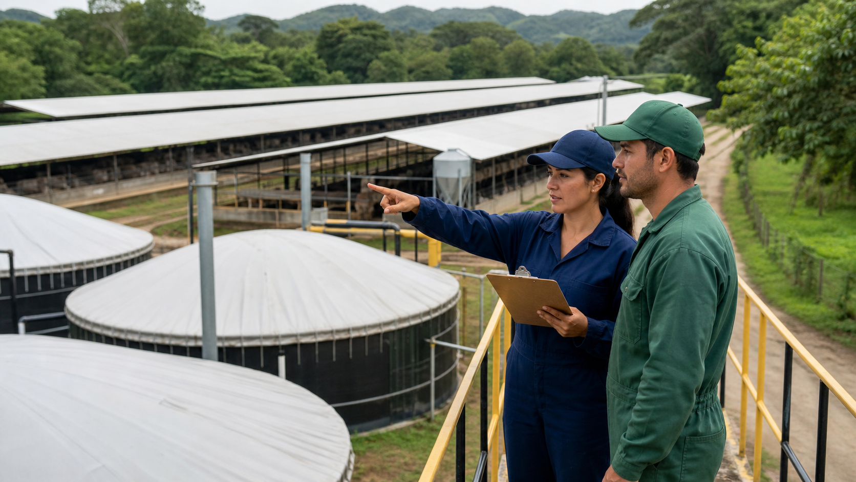
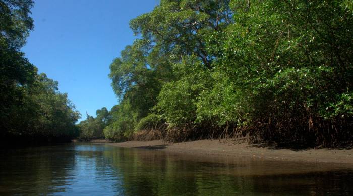
The land uses most affected by this rise in sea level would be mangrove forests (94,711 ha), broadleaf forests (35,965 ha) – trees with flat, broad leaves –, pastures (25,618 ha), crops in general (23,304 ha), and aquaculture ponds (12,034 ha). In the case of crops, rice (12,447 ha) and sugar cane (3,463 ha) represented 69% of the impact on agricultural uses.
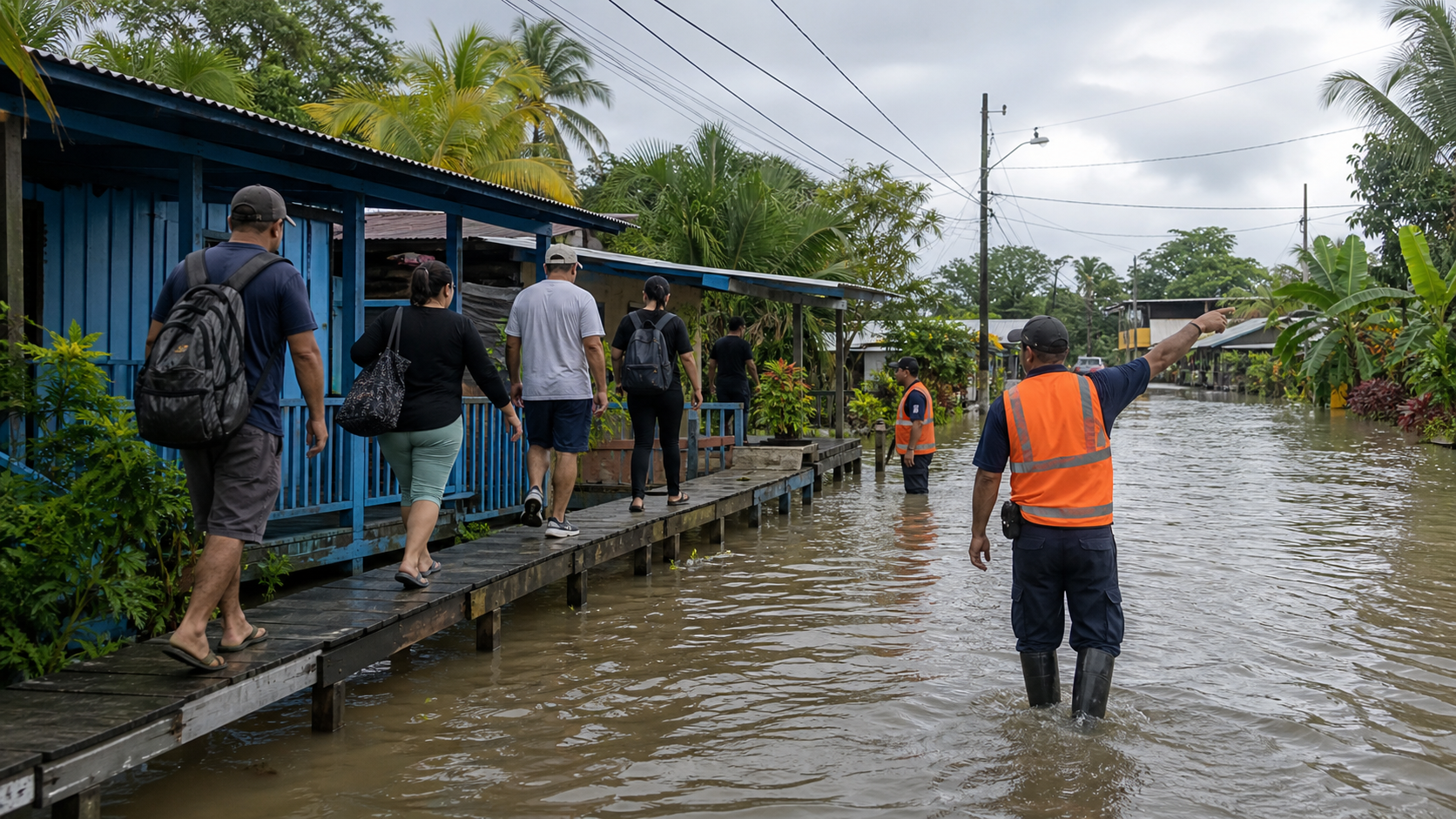
From this analysis, 928 affected coastal populated places were also identified, with an area of 14,555 hectares and an estimated population of 700,000 inhabitants. The three provinces with the largest number of affected populations would be the province of Panama with an estimated 331,635 inhabitants, Colón with 126,667 inhabitants and Chiriquí with 108,961 inhabitants, corresponding to the areas with the highest concentrations of urban population in the country.
The mapping shows a serious risk of impact not only on populations and infrastructure, but also on certain sectors of agricultural activity. 90% of existing aquaculture ponds are threatened. 88% of the salt mines, 50% of the mangroves and 15% of the area dedicated to rice cultivation in the country are in the same situation. Only in the case of aquaculture, for example, would the export of shrimp be at risk, which in 2023 corresponds to $23.7 million.
This analysis prepared by the Urban Risk Observatory and ESRI Panama based on data from IH Cantabria, reflects a more precise approximation of the existing threats and the resources, infrastructure and potentially affected population, but its results still maintain a notable level of uncertainty. due to the starting data used. The limitations of the projections prepared by IH Cantabria are related to the low level of resolution of the topography used, and the lack of records on waves and sea level with a sufficient degree of frequency and temporality (30 years minimum) necessary. for this type of studies.
The results of these studies on sea level rise, even when they are not conclusive, should promote actions by institutions and society as a whole, which allow guiding and regulating the occupation of the territory, promoting citizen participation, and identifying and program the necessary investments to mitigate the impacts at the level of the affected communities and municipalities.
To see maps and visualizations of the affected areas and the results of the analyzes prepared by the Urban Risk Observatory of Florida State University and ESRI Panama, visit the following link: www.metromapas.net or on social networks @esripanama.